Remote Sensing Scientists and Technologists
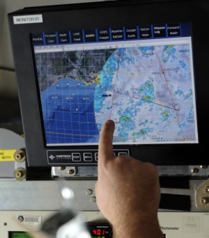
Remote sensing scientists and technologists use satellite imagery,
aerial photographs, and other remote sensing techniques to study the
Earth’s surface and atmosphere. They are involved in a variety of
applications, including environmental monitoring, climate change
research, disaster response, and geological mapping. Their work requires
an extensive background in the geosciences and typically involves:
-
Planning and designing remote sensing experiments or missions and
maintaining and updating equipment and software throughout a
project.
-
Processing and analyzing remote sensing data using specialized
software. This may include tasks such as correcting for atmospheric
effects, removing noise, and performing spectral analysis.
-
Drawing conclusions about the Earth’s surface or atmosphere. This
may involve comparing the results with other datasets or models and
identifying trends or patterns.
-
Presenting results for a variety of audiences, including scientists,
policymakers, and the general public.
-
Working with other geoscientists, engineers, computer scientists,
and GIS specialists to address complex problems.
Read more about this occupation on O*NET OnLine at www.onetonline.org/link/summary/19-2099.01
Explore related careers