Geodetic Surveyors
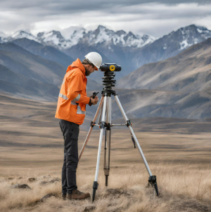
Geodetic surveyors are responsible for measuring and mapping the Earth’s
surface, specifically its geometric shape, size, and gravity field. They
use a variety of instruments and techniques to collect data, such as GPS
receivers, satellite imagery, and digital terrain models. Their work
applies to a wide range of applications, all of which require an
extensive background in the geosciences, including:
-
Mapping and navigation to create accurate maps and nautical charts,
which are critical for navigation and transportation.
-
Surveying to aid in the design and building of roads, bridges, dams,
and other large-scale structures.
-
Environmental monitoring, such as changes in sea level, glaciers,
and coastlines, which are important for understanding climate change
and environmental impacts.
-
Space exploration to determine the Earth’s shape and gravity field,
which is essential for satellite navigation and space missions.
Read more about this occupation on O*NET OnLine at www.onetonline.org/link/summary/17-1022.01
Explore related careers