Surveying and Mapping Technicians
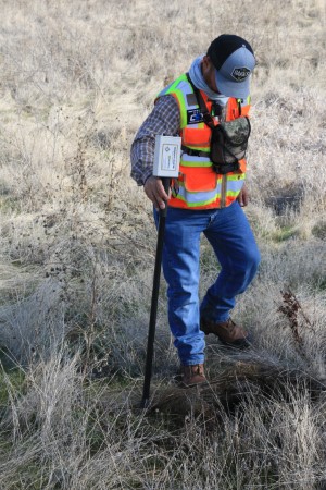
Surveying and mapping technicians work in the field to collect data that
is used to create maps, charts, and other geographical information.
Their work may take place in urban areas, remote wilderness, or even
offshore locations and may apply to a variety of applications such as
construction projects, environmental studies, and disaster response.
They typically work under the supervision of surveyors or engineers, and
require an extensive background in the geosciences to perform duties
such as:
-
Measuring and recording land features using surveying equipment such
as GPS units, total stations, and levels. This may also include
sketching or photographing survey areas.
-
Collecting samples of soil, water, or other materials for testing.
-
Computing and analyzing data using specialized software to create
accurate maps and charts.
-
Maintaining surveying equipment and ensuring that it is properly
calibrated.
-
Preparing reports and documentation that summarize their findings.
Read more about this occupation on O*NET OnLine at www.onetonline.org/link/summary/17-3031.00
Explore related careers